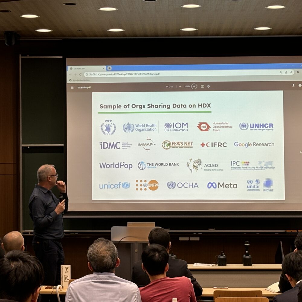
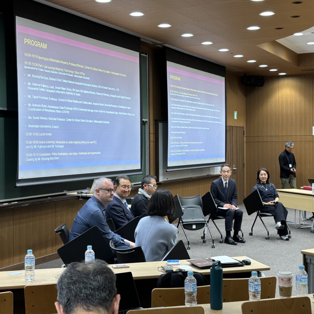
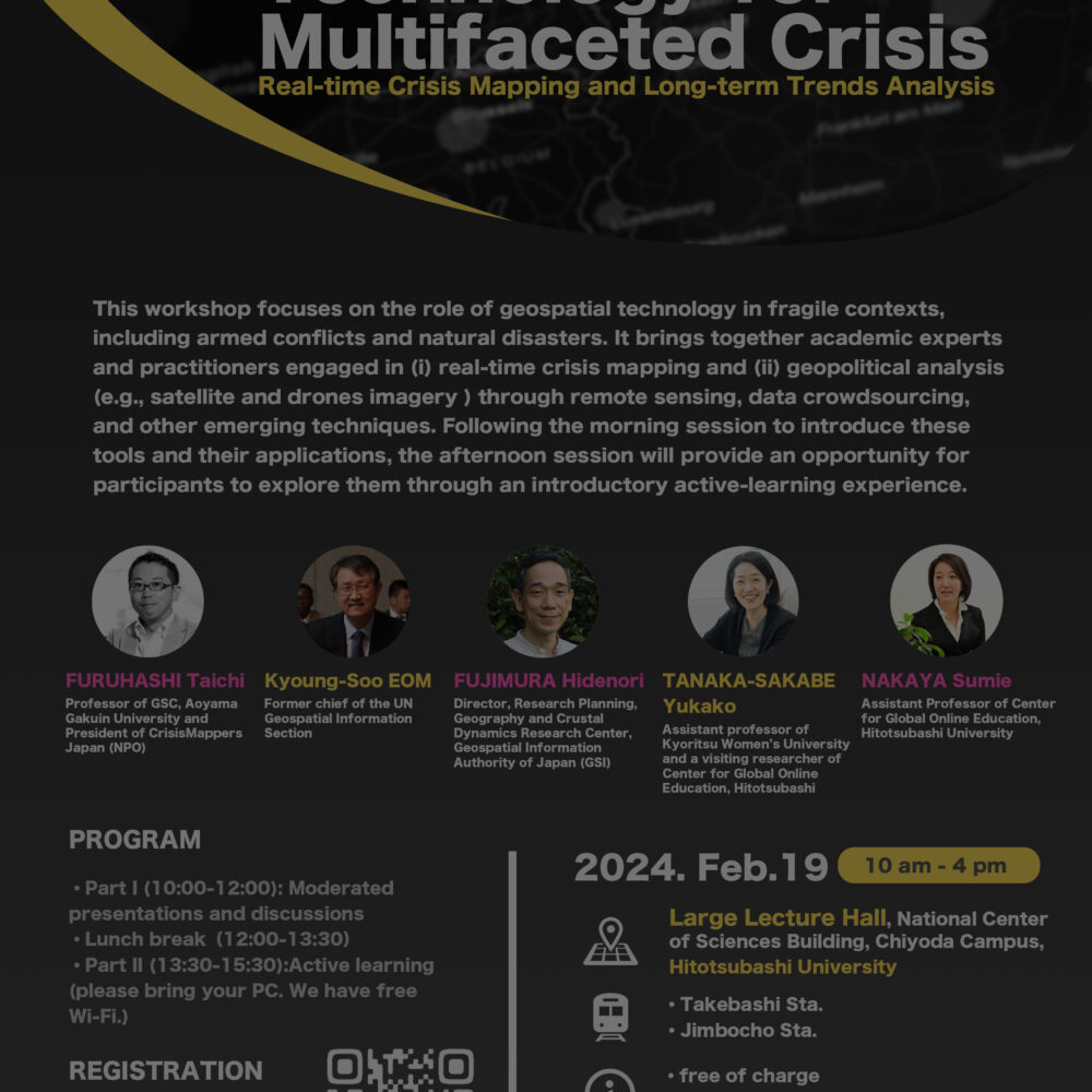
International Symposium “Geospatial Technology for Multifaceted Crisis: Real-time Crisis Mapping and Long-term Trends Analysis” is now available on demand.
International Symposium “Geospatial Technology for Multifaceted Crisis: Real-time Crisis Mapping and Long-term Trends Analysis” is now available on demand. 〜PLAYLIST〜 〜SPEAKER〜 藤村 英範(FUJIMURA Hidenori) 国土地理院地理地殻活動研究センター研究管理課長。国連スマート地図グループでリードを務める。2002年に国土地理院に入省。 Director, Research Planning, Geography and Crustal Dynamics Research Center, Geospatial Information Authority of Japan (GSI). Also leading the United Nations Smart Maps Group. GSI since 2002. . 古橋 大地(FURUHASHI Taichi) […]


